




 Hidden Gems
The Logistics of Island Hopping
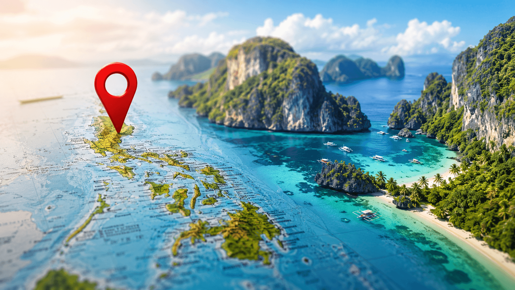
Mapping out a journey across 7,641 islands demands a smart plan to prevent travel delays. Vacationers frequently struggle to balance famous tourist spots with secluded provinces because local transport links do not connect easily. Consulting a detailed Philippines Interactive Map: Explore Destinations, Attractions & Hidden Gems stands as the most helpful way to coordinate your plans.
This guide offers a clear framework to map your path, trim down travel times, and find hidden spots. Using digital mapping tools allows you to shift smoothly from busy cities to remote beaches. Relying on a trusted interactive map of the archipelago helps connect the dots between complicated ferry timetables and flight connections.
Because the nation is spread across the sea, getting from one point to another requires a mix of planes, boats, and regional buses. Seeing these routes on a screen is vital since a simple straight line on a paper map rarely shows true travel times. Travelers can open a digital guide to see actual distances between provinces and figure out realistic transit times.
Main Transport Gateways
To set up a working base for your trip, you first need to pinpoint the main entry airports and ports. These hubs shape the flow of your whole path and act as anchor points on your digital route planner.
- Luzon Gateway: Manila operates as the main international entry point, linking you directly to northern mountain ranges and southern volcanic parks.
- Visayas Gateway: Cebu serves as a central junction, offering quick routes to premier diving spots and powdery beaches via short ferry trips.
- Mindanao Gateway: Davao provides access to wildlife sanctuaries, high-altitude hiking paths, and rare cultural heritage sites.
How to Use a Digital Route Planner
Famous getaways like El Nido, Boracay, and Siargao draw massive crowds every year. Beating the crowds and securing hotel bookings requires smart timing and real geographical awareness. Adding the Philippines Interactive Map: Explore Destinations, Attractions & Hidden Gems to your routine stops common transit mistakes before they happen.
For example, Palawan is a long, thin island where driving from Puerto Princesa to El Nido takes around six hours by shuttle. Knowing this spatial reality stops tourists from booking impossible same-day flight connections. Using a Philippines Interactive Map: Explore Destinations, Attractions & Hidden Gems helps you visualize these distances clearly.
Uncovering Secluded Spots in the Archipelago
Past the famous shores lie thousands of quiet islands and mountain hamlets untouched by heavy tourism. Places like Batanes in the far north or Siquijor in the central region offer clean, quiet environments for bold travelers. Finding these remote corners becomes much easier when using a specialized Philippines Interactive Map: Explore Destinations, Attractions & Hidden Gems to pin exact coordinates.
These secluded spots rarely have detailed online guides or direct bus routes. Getting there requires careful preparation and independent navigation. By marking these coordinates on a digital map, travelers can find empty coastal paths and hidden waterfalls.
- Batanes Province: Famous for its windswept cliffs, stone cottages, and the traditional Ivatan way of life, located closer to Taiwan than Manila.
- Seco Island: A small, curved sandbar in Antique that provides top-tier kitesurfing conditions far from the usual crowds.
- Siquijor Island: Known for its folk legends, thick forests, natural spring pools, and peaceful coastal roads.
Perfecting Your Route and Weather Planning
Smart route planning depends on layering different types of geographic details to make wise choices. Travelers can view weather trends, seasonal boat schedules, and local terrain on one screen. Combining these details on a Philippines Interactive Map: Explore Destinations, Attractions & Hidden Gems helps you bypass heavy rain zones.
For example, the eastern coast gets heavy rain during winter, while western areas stay dry. Planning your path to match these seasonal cycles guarantees great beach weather and safer boat trips. A reliable Philippines Interactive Map: Explore Destinations, Attractions & Hidden Gems can also display real-time weather overlays.
Comparing Digital Navigation Tools
Selecting the right mapping application directly shapes your ability to navigate remote regions with weak cellular signals. Different apps work best for specific tasks, like offline routing, local reviews, or topographic views. When selecting a Philippines Interactive Map: Explore Destinations, Attractions & Hidden Gems, choosing a tool that supports offline vector layers is essential.
This step is highly valuable in thick jungle regions where basic mapping apps fail to show existing dirt trails. Loading offline layers guarantees that your map data remains usable even when there is no cell service.
| Tool Type | Best Use Case | Offline Reliability |
|---|---|---|
| Saved Google Maps | Planning schedules and sharing exact pins | Moderate (requires manual saving beforehand) |
| Organic Maps or Maps.me | Backcountry trail walks and hiking | Excellent (fully downloadable vector maps) |
| Ferry and Flight Trackers | Live transit updates and gate times | Poor (needs an active web connection) |
Best Practices for Offline Navigation
Mobile network coverage remains spotty across isolated islands and high mountain ranges. Relying only on live internet data can leave you stranded without any directional aid. Saving a local copy of your travel coordinates guarantees constant access to your route when cell signals vanish.
To stay safe and keep your bearings in areas with poor service, follow these simple preparation steps. Taking these precautions protects you against sudden navigation failures in deep forests.
- Download offline regions: Save wide geographic zones to your phone memory while connected to fast Wi-Fi in major cities.
- Pin emergency points: Mark local clinics, police stations, and government offices before heading into remote areas.
- Export your paths: Save your planned routes as lightweight KML or GPX files to load into offline map viewers.
Final Mapping Tips
Traveling through thousands of islands takes careful preparation and the right digital assists. By learning the local transit systems, mixing major sights with secret spots, and planning for offline situations, you can enjoy a smooth trip. Carrying a trusty Philippines Interactive Map: Explore Destinations, Attractions & Hidden Gems ensures an easy journey from start to finish.
Choosing careful planning over pure guesswork leads to a safer and far more satisfying look at this vast tropical country. Spending a little time mapping your path with a detailed interactive map of the Philippines turns a confusing transit puzzle into a smooth, unforgettable adventure.


Comments are closed